Follow us
Wildlife Corridors
Habitat loss and fragmentation are among the leading causes to biodiversity decline. How do we provide the link? Wildlife Corridors!
The Issue
The Challenge
The Response
The Options
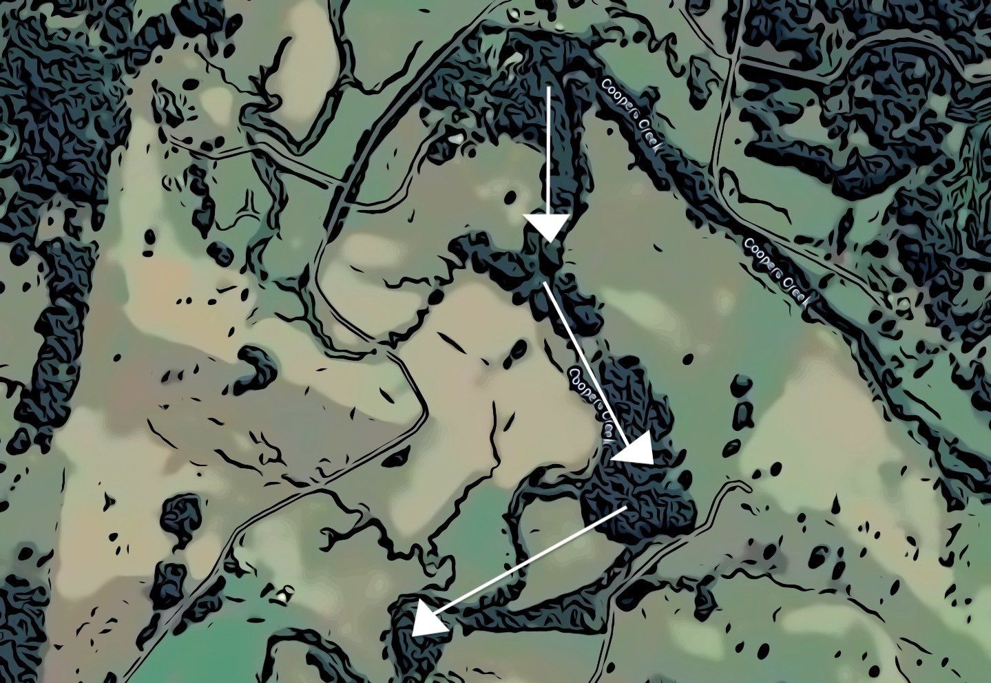
Continuous Corridors
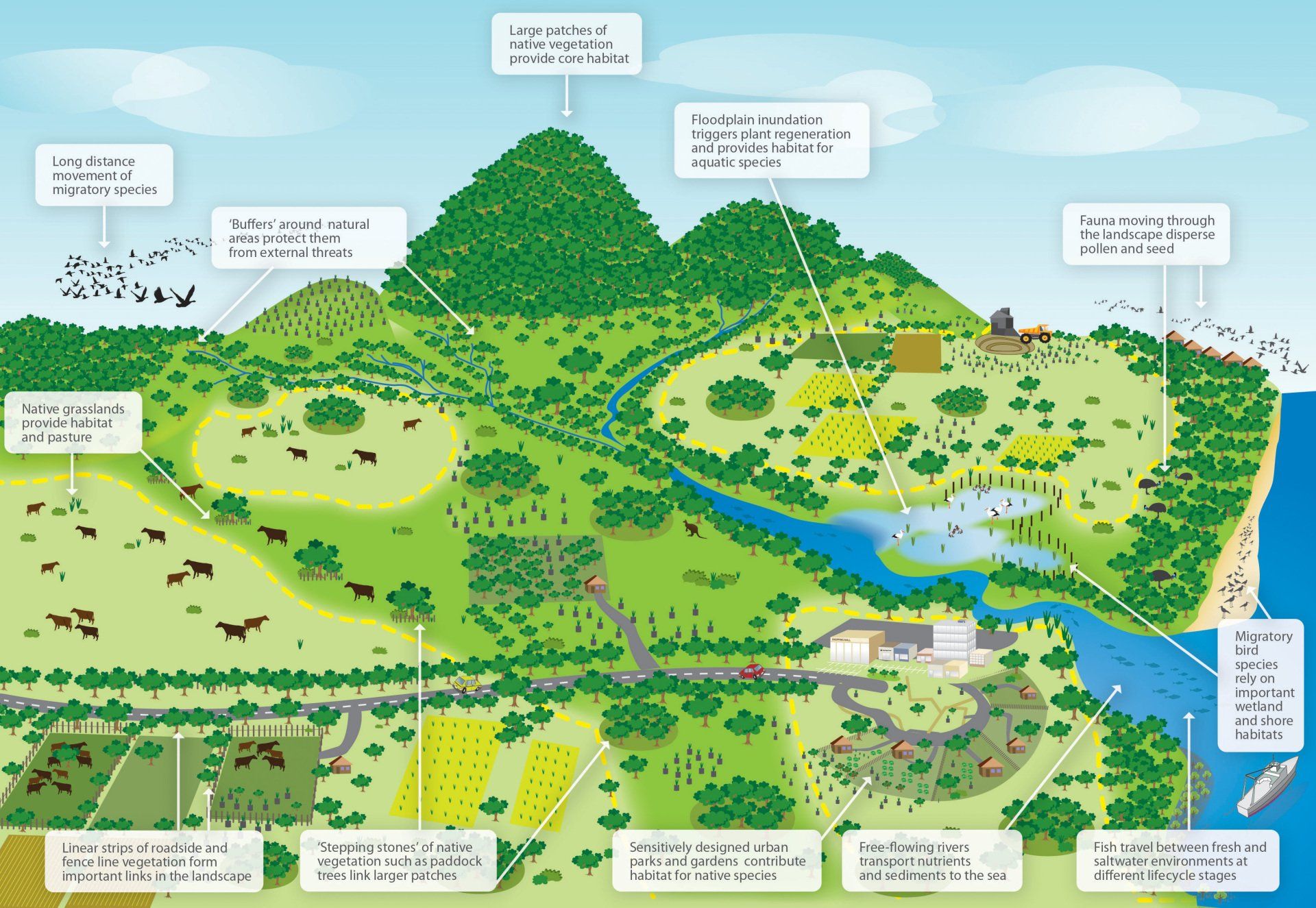
Some wildlife species particularly threatened and vulnerable ones have difficulty living in or moving through a developed landscape. The increased exposure means greater competition for food and shelter as well as higher susceptibly to predation. To ensure a better chance of survival, they require a continuous link of suitable habitat leading to another area of habitat. This is called a 'continuous corridor'. Continuous corridors are often found along creeks and known as a riparian corridor. Examples of animals that utilise there areas include small mammals, small reptiles, some ground-dwelling birds and non-flying invertebrates. If you have a creek or continuous patch of vegetation then this is the corridor for you.

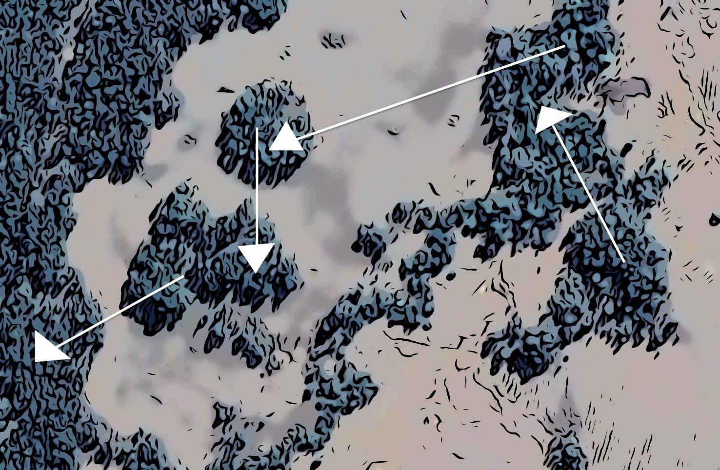
Stepping Stone Corridors
Other animals that could survive the slightly more exposed pathways may benefit from a stepping stone corridor. This includes birds (cuckoos, fruit pigeons and lorikeets), flying foxes and flying insects. Vegetation that is pollinated via wind, animals or insects will also benefit from this corridor. The stepping stone corridor approach uses small patches of habitat that are connected by smaller green corridors.
Stepping Stone Patches
The stepping stone patches approach doesn't necessarily mean the patches are within a corridor position but rather a mosaic of natural and modified vegetation (such as scattered trees in paddocks). Animals that could utilise these patches rather than continuous vegetation include kangaroos, wallabies and common open-paddock birds such as magpies. Similarly, vegetation pollinated via wind, birds or insects will benefit from this approach. These plant and animal species are tolerant of land uses in the surrounding environment.
The 3 Key Factors
Connectivity
Both continuous and stepping stone corridors should ideally be achieving connectivity from one place to the other. If you're working on stepping stones, the space between each patch should not extend for more than 1 km before connecting to another patch of vegetation. Each patch should aim to be at least 1 ha in size
Composition
The structure of vegetation is an important consideration which will influence what species of plants and wildlife will use the corridor. The greater diversity of vegetation provided within the different stratums ensures that a greater diversity of wildlife species will be able to use the corridor. As we mentioned is Step 3, it's important to choose vegetation endemic to the area.
Configuration
This means the size, shape and location of patches particularly in relation to one another. Generally the wider the better! Minimising edges and maximising core areas of vegetation increases habitat for wildlife. For example, compact patches of vegetation (i.e. square or circular in shape) have less edges compared to long narrow strips. This will reduce the ‘edge effects’ which disrupt ecological processes in the long term.
Step 6: Fencing
Fencing can be timely and expensive but if you manage livestock then it's a really great idea to think about protecting your corridor and preventing any external damage. This includes soil erosion and compaction, incidental eating of native vegetation by livestock and to provide a safe haven for native species without livestock competition and intrusion. If you're fencing, it's also very important to consider 'wildlife friendly fencing'.
Step 7: Monitoring
We've listed three ways you can monitor corridors below.
Photo Points
Capturing the progress of different activities, particularly regeneration sites and vegetation improvement is a must. The easiest way to do this is photographing an area with an easily distinguishable feature such as large tree an monitor the change every 6 months. Using a stake with flagging tape is also a great option too.

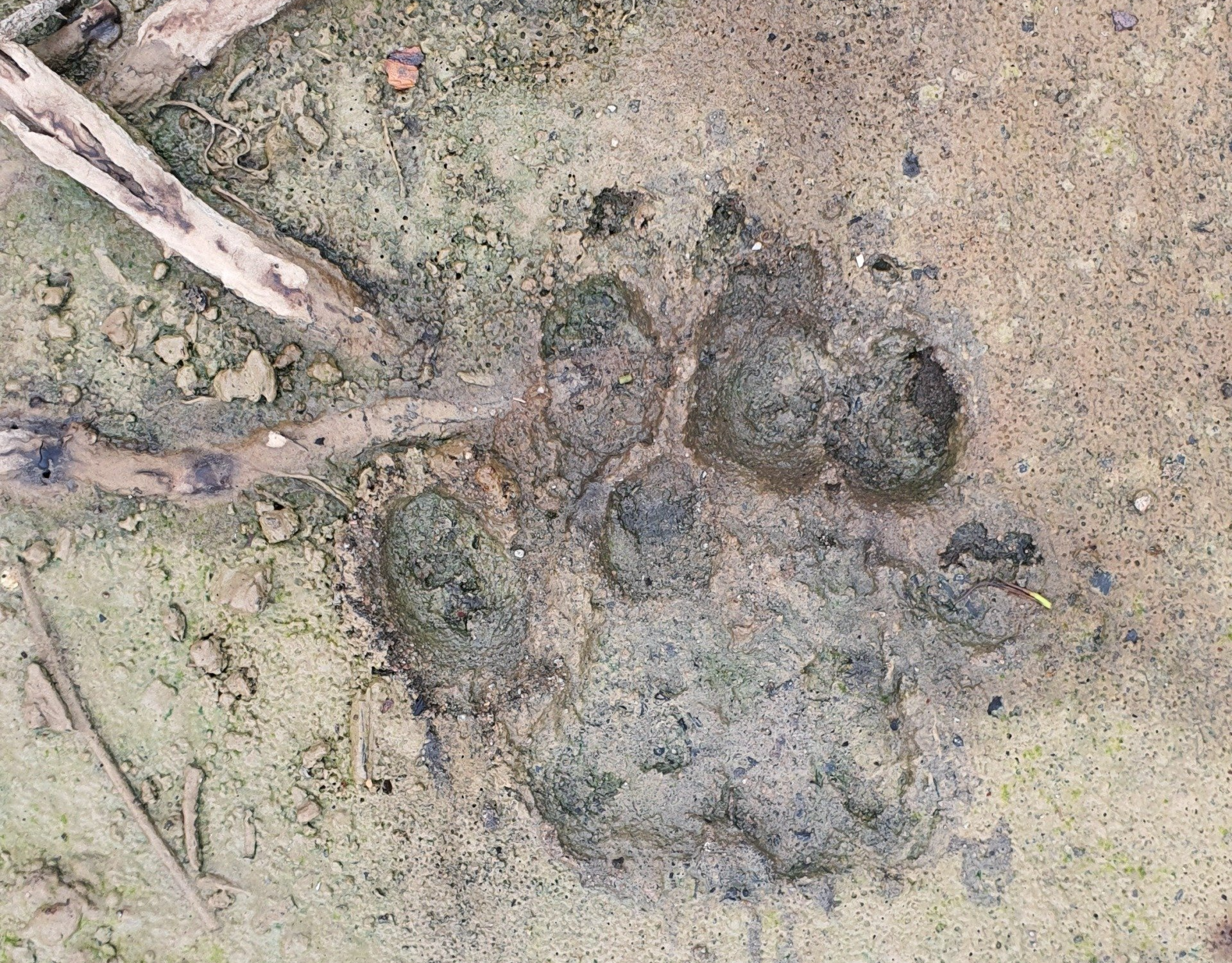
Wildlife Cameras
If weeds are a large focus to your property plan then weed mapping would be something to consider. Ideas include colour coded map overlays categorising areas on the severity of weed infestations. If correct regeneration techniques are applied, overtime these colours should change showing areas of least to most concern.

Who's on my property?
If areas are regenerated to attract wildlife then you might start seeing or hearing fauna you’ve not seen before. Different scats might be left and unusual flora popping up probably from bird droppings. This is all a part of the process and it’s probably the most exciting, so sit back and enjoy your little slice of Australian paradise.
For more information on wildlife corridors, read the